
Taroa topographic map
Interactive map
Click on the map to display elevation.
About this map
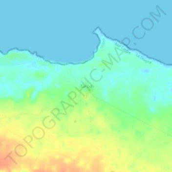
Name: Taroa topographic map, elevation, terrain.
Location: Taroa, La Guajira, Colombia (12.41001 -71.59631 12.45001 -71.55631)
Average elevation: 13 m
Minimum elevation: -2 m
Maximum elevation: 41 m