
İzmit topographic map
Interactive map
Click on the map to display elevation.
About this map
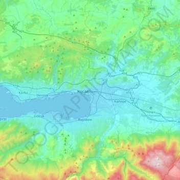
Name: İzmit topographic map, elevation, terrain.
Location: İzmit, Kocaeli, Marmara Region, 41300, Turkey (40.60538 29.78070 40.92538 30.10070)
Average elevation: 290 m
Minimum elevation: -1 m
Maximum elevation: 1,594 m
Other topographic maps
Click on a map to view its topography, its elevation and its terrain.
Alikahya
Turkey > Marmara Region > İzmit > Alikahya
Alikahya, İzmit, Kocaeli, Marmara Region, 4130, Turkey
Average elevation: 42 m