
Thank you for supporting this site ❤️
Make a donation
Make a donation
Pratofontana topographic map
Click on the map to display elevation.
Thank you for supporting this site ❤️
Make a donation
Make a donation
About this map
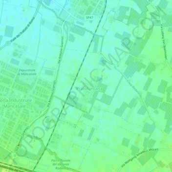
Name: Pratofontana topographic map, elevation, terrain.
Location: Pratofontana, Reggio nell'Emilia, Emilia-Romagna, Italia (44.72409 10.65331 44.75649 10.68406)
Average elevation: 34 m
Minimum elevation: 28 m
Maximum elevation: 41 m
Thank you for supporting this site ❤️
Make a donation
Make a donation