
Cantón Río Cuarto topographic map
Interactive map
Click on the map to display elevation.
About this map
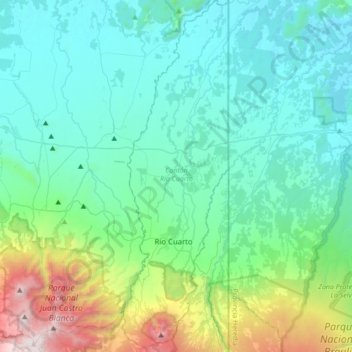
Name: Cantón Río Cuarto topographic map, elevation, terrain.
Location: Cantón Río Cuarto, Provincia Alajuela, 21601, Costa Rica (10.23793 -84.26573 10.57731 -84.16225)
Average elevation: 439 m
Minimum elevation: 21 m
Maximum elevation: 2,285 m
Other topographic maps
Click on a map to view its topography, its elevation and its terrain.
Cote
Costa Rica > Provincia Alajuela > Cote
Cote, Cantón Guatuso, Provincia Alajuela, 21503, Costa Rica
Average elevation: 500 m