
Vargas topographic map
Interactive map
Click on the map to display elevation.
About this map
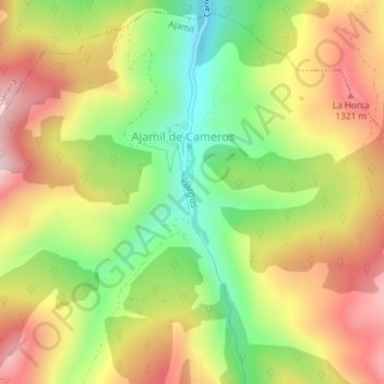
Name: Vargas topographic map, elevation, terrain.
Location: Vargas, Ajamil, Rioja, Spain (42.15998 -2.48616 42.16698 -2.48398)
Average elevation: 1,167 m
Minimum elevation: 969 m
Maximum elevation: 1,367 m