
Telle topographic map
Interactive map
Click on the map to display elevation.
About this map
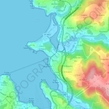
Name: Telle topographic map, elevation, terrain.
Location: Telle, Betanzos, A Coruña, Galicia, 15630, Spain (43.33005 -8.22646 43.37005 -8.18646)
Average elevation: 42 m
Minimum elevation: -4 m
Maximum elevation: 183 m