
County of Newell topographic map
Interactive map
Click on the map to display elevation.
About this map
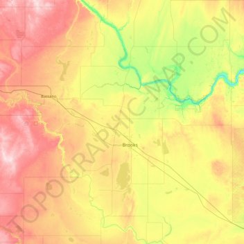
Name: County of Newell topographic map, elevation, terrain.
Location: County of Newell, Alberta, Canada (50.12731 -112.63577 51.21360 -111.36942)
Average elevation: 783 m
Minimum elevation: 619 m
Maximum elevation: 1,042 m
Other topographic maps
Click on a map to view its topography, its elevation and its terrain.