Denmark topographic maps
Click on a map to view its topography, its elevation and its terrain.


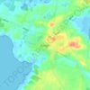


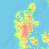

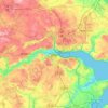
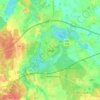
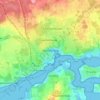
Vejle
Denmark > Region of Southern Denmark
In a country where the highest natural elevation is only about 170 m (558 ft) above sea level, Vejle is known for the forested hills that rise to the north and south of the town and fjord.
Average elevation: 61 m



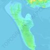
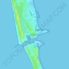
Anholt
Denmark > Central Denmark Region
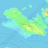
The western fifth of Anholt consists of hilly moraine country, while the eastern four-fifths of the island consist of mostly flat raised seabed with some low hills, former wind-blown sand dunes. Only the western moraine hills are inhabited. The eastern part, called "Ørkenen" (The Desert) is treeless; the…
Average elevation: 2 m







Himmelbjerget
Denmark > Central Denmark Region
With an elevation of 147 m (482 ft), Himmelbjerget is one of the highest natural points in the Danish landscape. The hill and surrounding area has been a centre for various gatherings and celebrations for more than 200 years and in 1875, a red brick tower was erected at the top.
Average elevation: 76 m