
Corocoro topographic map
Interactive map
Click on the map to display elevation.
About this map
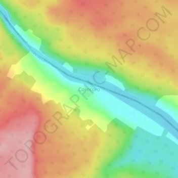
Name: Corocoro topographic map, elevation, terrain.
Average elevation: 214 m
Minimum elevation: 124 m
Maximum elevation: 298 m
Other topographic maps
Click on a map to view its topography, its elevation and its terrain.
San José del Guaviare
Colombia > Guaviare > San José del Guaviare
San José del Guaviare, Guaviare, Colombia
Average elevation: 284 m