
Thank you for supporting this site ❤️
Make a donation
Make a donation
Mkomazi topographic map
Click on the map to display elevation.
Thank you for supporting this site ❤️
Make a donation
Make a donation
About this map
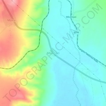
Name: Mkomazi topographic map, elevation, terrain.
Location: Mkomazi, Korogwe, Tanga Region, Northern Zone, Tanzania (-4.67677 38.04835 -4.63677 38.08835)
Average elevation: 482 m
Minimum elevation: 443 m
Maximum elevation: 562 m
Thank you for supporting this site ❤️
Make a donation
Make a donation
Other topographic maps
Click on a map to view its topography, its elevation and its terrain.