
Rakai topographic map
Interactive map
Click on the map to display elevation.
About this map
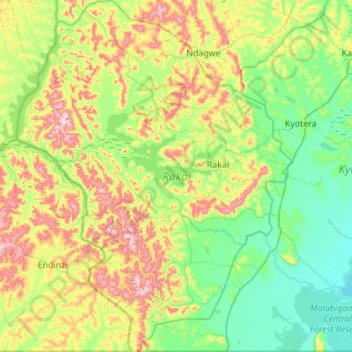
Name: Rakai topographic map, elevation, terrain.
Location: Rakai, Zentral-Region, Uganda (-1.00000 31.09027 -0.42858 31.99977)
Average elevation: 1,230 m
Minimum elevation: 1,130 m
Maximum elevation: 1,554 m
Other topographic maps
Click on a map to view its topography, its elevation and its terrain.