
Kanalaki topographic map
Interactive map
Click on the map to display elevation.
About this map
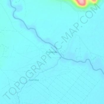
Name: Kanalaki topographic map, elevation, terrain.
Location: Kanalaki, Rakai, Zentral-Region, Uganda (-0.90147 31.49003 -0.86147 31.53003)
Average elevation: 1,154 m
Minimum elevation: 1,142 m
Maximum elevation: 1,315 m
Other topographic maps
Click on a map to view its topography, its elevation and its terrain.