
Vega Larga topographic map
Interactive map
Click on the map to display elevation.
About this map
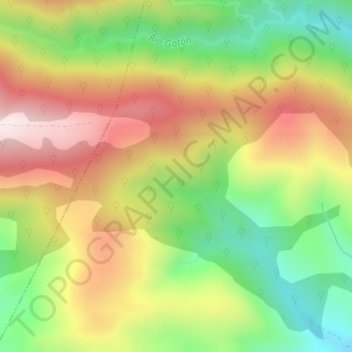
Name: Vega Larga topographic map, elevation, terrain.
Location: Vega Larga, Villavelayo, Rioja, Spain (42.15100 -3.01100 42.17100 -2.99100)
Average elevation: 1,262 m
Minimum elevation: 980 m
Maximum elevation: 1,565 m