
Kollo topographic map
Interactive map
Click on the map to display elevation.
About this map
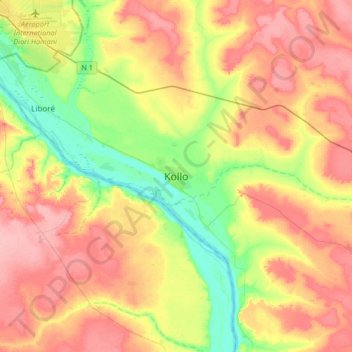
Name: Kollo topographic map, elevation, terrain.
Location: Kollo, Tillabéri, Niger (13.18208 2.15653 13.50208 2.47653)
Average elevation: 223 m
Minimum elevation: 173 m
Maximum elevation: 271 m
Other topographic maps
Click on a map to view its topography, its elevation and its terrain.