
Thank you for supporting this site ❤️
Make a donation
Make a donation
Lansdowne topographic map
Click on the map to display elevation.
Thank you for supporting this site ❤️
Make a donation
Make a donation
About this map
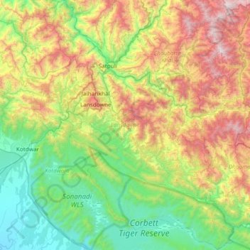
Name: Lansdowne topographic map, elevation, terrain.
Location: Lansdowne, Pauri Garhwal District, Uttarakhand, India (29.53870 78.50628 30.05245 79.00811)
Average elevation: 1,024 m
Minimum elevation: 253 m
Maximum elevation: 2,641 m
Thank you for supporting this site ❤️
Make a donation
Make a donation