
Tanjong Pasir Laba topographic map
Interactive map
Click on the map to display elevation.
About this map
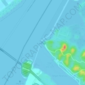
Name: Tanjong Pasir Laba topographic map, elevation, terrain.
Average elevation: 4 m
Minimum elevation: -2 m
Maximum elevation: 56 m
Other topographic maps
Click on a map to view its topography, its elevation and its terrain.
Bajau Hill
Singapore > Southwest > Singapore
Bajau Hill, Singapore, Southwest, 636921, Singapore
Average elevation: 15 m
Kent Ridge Park
Singapore > Southwest > Queenstown
Kent Ridge Park, Alexandra, Queenstown, Southwest, Singapore
Average elevation: 21 m