
Lorong Halus topographic map
Interactive map
Click on the map to display elevation.
About this map
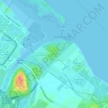
Name: Lorong Halus topographic map, elevation, terrain.
Location: Lorong Halus, Pasir Ris, Northeast, Singapore (1.39163 103.92399 1.39944 103.93247)
Average elevation: 6 m
Minimum elevation: -3 m
Maximum elevation: 52 m
Other topographic maps
Click on a map to view its topography, its elevation and its terrain.