
Thank you for supporting this site ❤️
Make a donation
Make a donation
Mount Stewart topographic map
Click on the map to display elevation.
Thank you for supporting this site ❤️
Make a donation
Make a donation
About this map
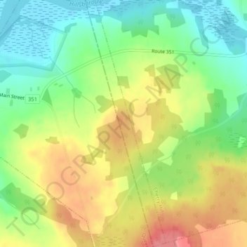
Name: Mount Stewart topographic map, elevation, terrain.
Location: Mount Stewart, Kings County, Prince Edward Island, Canada (46.34714 -62.84404 46.37457 -62.83119)
Average elevation: 38 m
Minimum elevation: 0 m
Maximum elevation: 81 m
Thank you for supporting this site ❤️
Make a donation
Make a donation