
San José La 20 topographic map
Interactive map
Click on the map to display elevation.
About this map
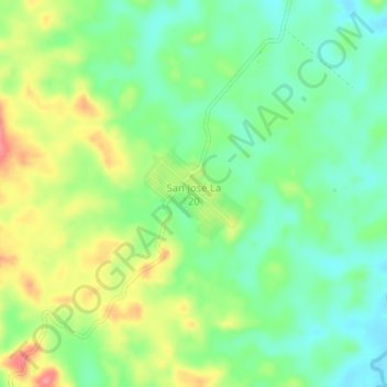
Name: San José La 20 topographic map, elevation, terrain.
Location: San José La 20, Ixcán, Quiché, Guatemala (15.89185 -90.85746 15.93185 -90.81746)
Average elevation: 193 m
Minimum elevation: 159 m
Maximum elevation: 247 m
Other topographic maps
Click on a map to view its topography, its elevation and its terrain.