
Santa Cruz topographic map
Interactive map
Click on the map to display elevation.
About this map
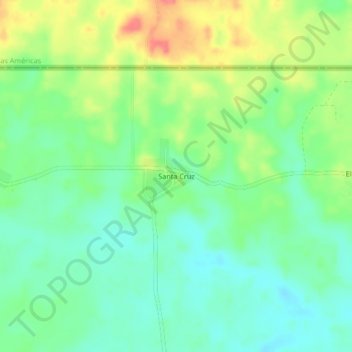
Name: Santa Cruz topographic map, elevation, terrain.
Location: Santa Cruz, Ixcán, Quiché, Guatemala (16.04160 -90.56047 16.08160 -90.52047)
Average elevation: 159 m
Minimum elevation: 135 m
Maximum elevation: 199 m
Other topographic maps
Click on a map to view its topography, its elevation and its terrain.