
Royal City topographic map
Interactive map
Click on the map to display elevation.
About this map
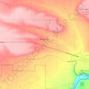
Name: Royal City topographic map, elevation, terrain.
Location: Royal City, Grant County, Washington, 99357, United States (46.88106 -119.64591 46.91382 -119.55975)
Average elevation: 313 m
Minimum elevation: 201 m
Maximum elevation: 358 m
Other topographic maps
Click on a map to view its topography, its elevation and its terrain.