
Balat Mahallesi topographic map
Interactive map
Click on the map to display elevation.
About this map
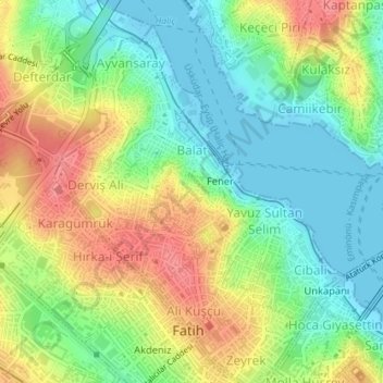
Name: Balat Mahallesi topographic map, elevation, terrain.
Location: Balat Mahallesi, Fatih, İstanbul, Marmara Bölgesi, Turquie (41.02436 28.94455 41.03379 28.95319)
Average elevation: 34 m
Minimum elevation: -4 m
Maximum elevation: 79 m
Other topographic maps
Click on a map to view its topography, its elevation and its terrain.