
Area F (Willow River/Upper Fraser) topographic map
Interactive map
Click on the map to display elevation.
About this map
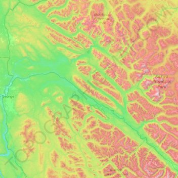
Name: Area F (Willow River/Upper Fraser) topographic map, elevation, terrain.
Average elevation: 1,179 m
Minimum elevation: 510 m
Maximum elevation: 3,028 m