
Zinder topographic map
Interactive map
Click on the map to display elevation.
About this map
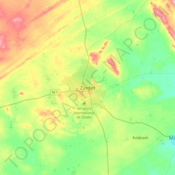
Name: Zinder topographic map, elevation, terrain.
Location: Zinder, Mirriah, Zinder, 07, Niger (13.64634 8.82917 13.96634 9.14917)
Average elevation: 452 m
Minimum elevation: 401 m
Maximum elevation: 544 m
Other topographic maps
Click on a map to view its topography, its elevation and its terrain.