
Damagaram Takaya topographic map
Interactive map
Click on the map to display elevation.
About this map
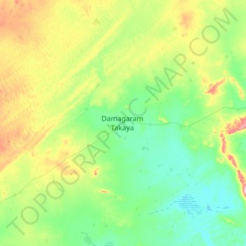
Name: Damagaram Takaya topographic map, elevation, terrain.
Location: Damagaram Takaya, Mirriah, Zinder, Niger (13.97791 9.32377 14.29791 9.64377)
Average elevation: 460 m
Minimum elevation: 414 m
Maximum elevation: 559 m
Other topographic maps
Click on a map to view its topography, its elevation and its terrain.