
Thank you for supporting this site ❤️
Make a donation
Make a donation
Jinhae-gu topographic map
Click on the map to display elevation.
Thank you for supporting this site ❤️
Make a donation
Make a donation
About this map
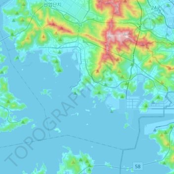
Name: Jinhae-gu topographic map, elevation, terrain.
Location: Jinhae-gu, Changwon-si, South Gyeongsang, South Korea (35.03591 128.59931 35.18023 128.84335)
Average elevation: 82 m
Minimum elevation: -8 m
Maximum elevation: 780 m
Thank you for supporting this site ❤️
Make a donation
Make a donation
Other topographic maps
Click on a map to view its topography, its elevation and its terrain.