
Veenoord topographic map
Interactive map
Click on the map to display elevation.
About this map
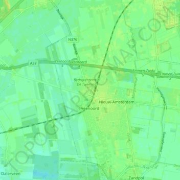
Name: Veenoord topographic map, elevation, terrain.
Location: Veenoord, Emmen, Drenthe, Netherlands (52.69306 6.82636 52.74405 6.85794)
Average elevation: 14 m
Minimum elevation: 7 m
Maximum elevation: 23 m
Other topographic maps
Click on a map to view its topography, its elevation and its terrain.
Holsloot
Netherlands > Drenthe > Coevorden
Holsloot, Coevorden, Drenthe, Netherlands
Average elevation: 13 m