
Thank you for supporting this site ❤️
Make a donation
Make a donation
Nantes topographic map
Click on the map to display elevation.
Thank you for supporting this site ❤️
Make a donation
Make a donation
About this map
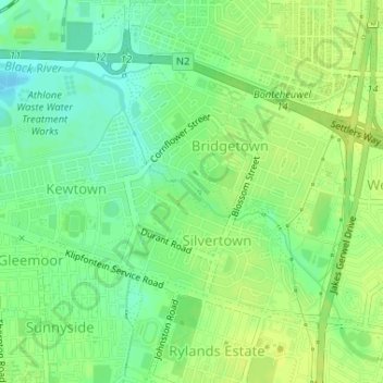
Name: Nantes topographic map, elevation, terrain.
Average elevation: 14 m
Minimum elevation: 4 m
Maximum elevation: 20 m
Thank you for supporting this site ❤️
Make a donation
Make a donation
Other topographic maps
Click on a map to view its topography, its elevation and its terrain.
Silvermist Estate
South Africa > Western Cape > City of Cape Town > Cape Town
Average elevation: 272 m
Table Mountain (Maclear's beacon)
South Africa > Western Cape > City of Cape Town > Cape Town
Average elevation: 675 m
Llandudno Beach
South Africa > Western Cape > City of Cape Town > Cape Town > Llandudno
Average elevation: 108 m
Rietvlei Wetland Reserve
South Africa > Western Cape > City of Cape Town > Cape Town
Average elevation: 5 m
Thank you for supporting this site ❤️
Make a donation
Make a donation