
Thank you for supporting this site ❤️
Make a donation
Make a donation
Orapa topographic map
Click on the map to display elevation.
Thank you for supporting this site ❤️
Make a donation
Make a donation
About this map
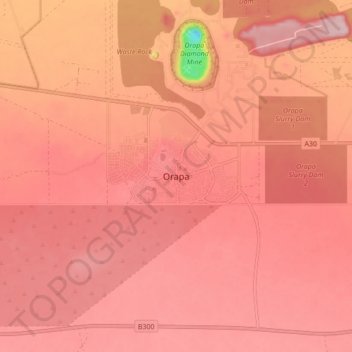
Name: Orapa topographic map, elevation, terrain.
Location: Orapa, Central District, Botswana (-21.37620 25.32496 -21.29620 25.40496)
Average elevation: 972 m
Minimum elevation: 812 m
Maximum elevation: 1,016 m
Thank you for supporting this site ❤️
Make a donation
Make a donation