
Mulaló topographic map
Interactive map
Click on the map to display elevation.
About this map
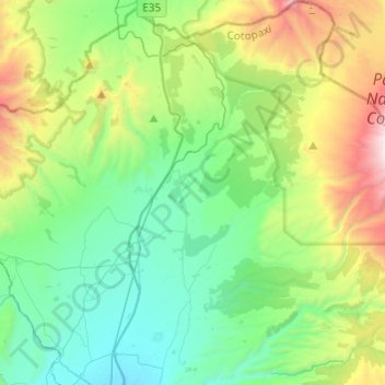
Name: Mulaló topographic map, elevation, terrain.
Location: Mulaló, Latacunga, Cotopaxi, Ecuador (-0.83377 -78.62311 -0.59284 -78.38093)
Average elevation: 3,430 m
Minimum elevation: 2,879 m
Maximum elevation: 4,898 m
Other topographic maps
Click on a map to view its topography, its elevation and its terrain.