
Witrivier topographic map
Click on the map to display elevation.
About this map
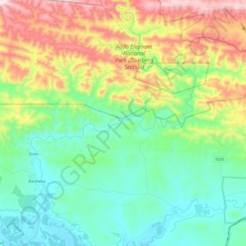
Name: Witrivier topographic map, elevation, terrain.
Average elevation: 337 m
Minimum elevation: 60 m
Maximum elevation: 934 m
Other topographic maps
Click on a map to view its topography, its elevation and its terrain.
Kirkwood
South Africa > Eastern Cape > Sarah Baartman District Municipality > Sundays River Valley Local Municipality
Average elevation: 181 m