
Thank you for supporting this site ❤️
Make a donation
Make a donation
Primrose topographic map
Click on the map to display elevation.
Thank you for supporting this site ❤️
Make a donation
Make a donation
About this map
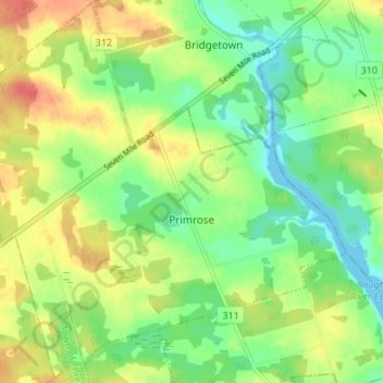
Name: Primrose topographic map, elevation, terrain.
Location: Primrose, Kings County, Prince Edward Island, Canada (46.26807 -62.57590 46.31434 -62.50836)
Average elevation: 23 m
Minimum elevation: -5 m
Maximum elevation: 53 m
Thank you for supporting this site ❤️
Make a donation
Make a donation