
Thank you for supporting this site ❤️
Make a donation
Make a donation
Goseong-ri topographic map
Click on the map to display elevation.
Thank you for supporting this site ❤️
Make a donation
Make a donation
About this map
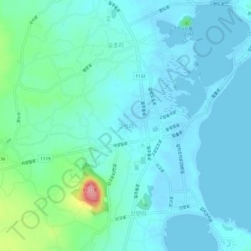
Name: Goseong-ri topographic map, elevation, terrain.
Location: Goseong-ri, Seogwipo-si, Jeju, 63640, South Korea (33.42933 126.88831 33.46933 126.92831)
Average elevation: 19 m
Minimum elevation: -3 m
Maximum elevation: 117 m
Thank you for supporting this site ❤️
Make a donation
Make a donation
Other topographic maps
Click on a map to view its topography, its elevation and its terrain.