
Akokan topographic map
Interactive map
Click on the map to display elevation.
About this map
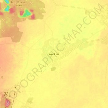
Name: Akokan topographic map, elevation, terrain.
Location: Akokan, Arlit, Agadez, Niger (18.67064 7.29821 18.75064 7.37821)
Average elevation: 420 m
Minimum elevation: 361 m
Maximum elevation: 457 m
Other topographic maps
Click on a map to view its topography, its elevation and its terrain.