
Aghil topographic map
Interactive map
Click on the map to display elevation.
About this map
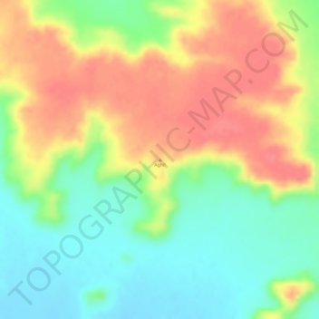
Name: Aghil topographic map, elevation, terrain.
Location: Aghil, Arlit, Agadez, Niger (20.17162 7.36939 20.17172 7.36949)
Average elevation: 580 m
Minimum elevation: 542 m
Maximum elevation: 616 m
Other topographic maps
Click on a map to view its topography, its elevation and its terrain.