Sydney topographic maps
Click on a map to view its topography, its elevation and its terrain.





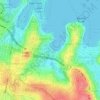




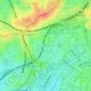


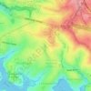

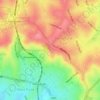
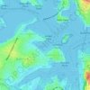
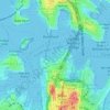
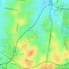
Cammeray
Australia > New South Wales > Sydney
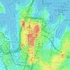
Prior to the 1920s, the suburb was known as Suspension Bridge reflecting the now Long Gully Bridge that joined Northbridge to Cammeray. Cammeray was slow to develop mainly due to its steep topography and remoteness from transport.
Average elevation: 66 m







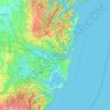
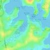
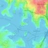
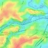
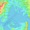
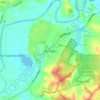
Sydney International Regatta Centre
Australia > New South Wales > Sydney > Penrith
Average elevation: 19 m


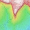
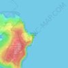
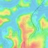
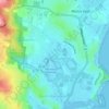
Mount Colah
Australia > New South Wales > Sydney
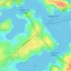
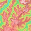
Mount Colah is 5 km north of Hornsby, the nearest major town centre. It is one of the most northerly suburbs of Sydney and is where the "Welcome to Sydney" sign is located. Mount Colah is the second highest suburb in Sydney by elevation. Considered one of Sydney's leafier suburbs, streets are clustered around…
Average elevation: 152 m




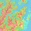
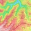
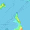
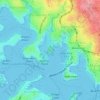
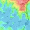
Ku-ring-gai Chase National Park
Australia > New South Wales > Sydney
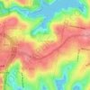
Ku-ring-gai Chase is part of the Hornsby Plateau, a massive block of sandstone tilting upwards to the north. The park comprises a plateau with an elevation of generally 150–200 m above sea level. Between 250 and 200 million years ago, sand silt and mud was deposited by rivers across flood plains. These…
Average elevation: 83 m