
Aurland topographic map
Interactive map
Click on the map to display elevation.
About this map
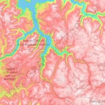
Name: Aurland topographic map, elevation, terrain.
Location: Aurland, Vestland, Norvège (60.67555 6.72103 61.06635 7.75038)
Average elevation: 1,102 m
Minimum elevation: 0 m
Maximum elevation: 1,813 m
Other topographic maps
Click on a map to view its topography, its elevation and its terrain.
Preikestolen
Preikestolen, Osterøy, Vestland, 5284, Norvège
Average elevation: 262 m
Vossavangen
Norvège > Vestland > Vossavangen
Vossavangen, Voss herad, Vestland, 5701, Norvège
Average elevation: 352 m