
Thank you for supporting this site ❤️
Make a donation
Make a donation
Steinsrud topographic map
Click on the map to display elevation.
Thank you for supporting this site ❤️
Make a donation
Make a donation
About this map
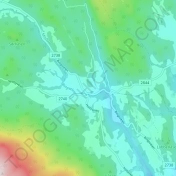
Name: Steinsrud topographic map, elevation, terrain.
Location: Steinsrud, Modum, Viken, 3330, Norway (59.84646 9.81406 59.88646 9.85406)
Average elevation: 170 m
Minimum elevation: 56 m
Maximum elevation: 614 m
Thank you for supporting this site ❤️
Make a donation
Make a donation
Other topographic maps
Click on a map to view its topography, its elevation and its terrain.