
Twee Riviere topographic map
Interactive map
Click on the map to display elevation.
About this map
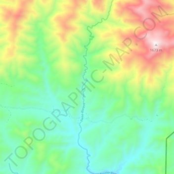
Name: Twee Riviere topographic map, elevation, terrain.
Average elevation: 955 m
Minimum elevation: 583 m
Maximum elevation: 1,682 m
Other topographic maps
Click on a map to view its topography, its elevation and its terrain.
Ladismith
South Africa > Western Cape > George
It is situated adjacent to a series of fertile, irrigated valleys, at an elevation of 550 m above sea level, at the southern base of the Swartberg. It is currently included in the southern Kannaland Local Municipality. The nearest towns are Calitzdorp to the east, Vanwyksdorp and Riversdale to the south and…
Average elevation: 605 m
Tsitsikamma National Park (Marine Reserve)
South Africa > Western Cape > George
Average elevation: 50 m