
Witsand topographic map
Interactive map
Click on the map to display elevation.
About this map
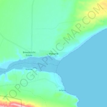
Name: Witsand topographic map, elevation, terrain.
Location: Witsand, George, Western Cape, 6666, South Africa (-34.43444 20.80611 -34.35444 20.88611)
Average elevation: 39 m
Minimum elevation: -2 m
Maximum elevation: 238 m
Other topographic maps
Click on a map to view its topography, its elevation and its terrain.