
Thank you for supporting this site ❤️
Make a donation
Make a donation
Thomas River topographic map
Click on the map to display elevation.
Thank you for supporting this site ❤️
Make a donation
Make a donation
About this map
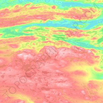
Name: Thomas River topographic map, elevation, terrain.
Location: Thomas River, Labrador, Newfoundland and Labrador, Canada (54.18615 -62.07872 54.28088 -61.49091)
Average elevation: 393 m
Minimum elevation: 210 m
Maximum elevation: 577 m
Thank you for supporting this site ❤️
Make a donation
Make a donation
Other topographic maps
Click on a map to view its topography, its elevation and its terrain.