
Cimarron County topographic map
Interactive map
Click on the map to display elevation.
About this map
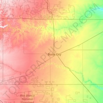
Name: Cimarron County topographic map, elevation, terrain.
Location: Cimarron County, Oklahoma, USA (36.50022 -103.00246 37.00009 -102.02806)
Average elevation: 1,269 m
Minimum elevation: 1,068 m
Maximum elevation: 1,522 m
Other topographic maps
Click on a map to view its topography, its elevation and its terrain.
Razorback Mountain
Razorback Mountain, Pushmataha County, Oklahoma, 74557, USA
Average elevation: 231 m