
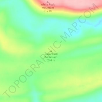
Razorback Mountain topographic map
Interactive map
Click on the map to display elevation.
About this map
Name: Razorback Mountain topographic map, elevation, terrain.
Location: Razorback Mountain, Pushmataha County, Oklahoma, 74557, USA (34.33783 -95.68975 34.33793 -95.68965)
Average elevation: 231 m
Minimum elevation: 175 m
Maximum elevation: 318 m
Other topographic maps
Click on a map to view its topography, its elevation and its terrain.