
Hardangerjøkulen topographic map
Interactive map
Click on the map to display elevation.
About this map
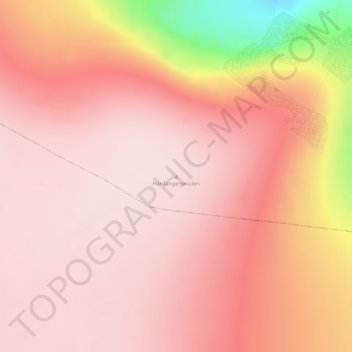
Name: Hardangerjøkulen topographic map, elevation, terrain.
Location: Hardangerjøkulen, Ulvik herad, Hordaland, Norway (60.54907 7.45236 60.54917 7.45246)
Average elevation: 1,796 m
Minimum elevation: 1,539 m
Maximum elevation: 1,870 m
Other topographic maps
Click on a map to view its topography, its elevation and its terrain.