
Dovrefjell topographic map
Interactive map
Click on the map to display elevation.
About this map
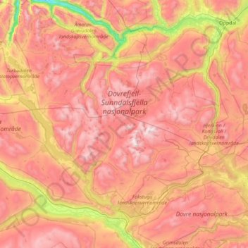
Name: Dovrefjell topographic map, elevation, terrain.
Location: Dovrefjell, Sunndal, Møre og Romsdal, Norway (62.01576 8.51721 62.65179 9.83073)
Average elevation: 1,183 m
Minimum elevation: 33 m
Maximum elevation: 2,248 m
Other topographic maps
Click on a map to view its topography, its elevation and its terrain.